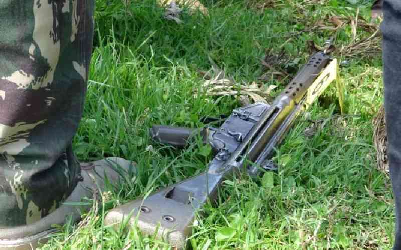
The boundary row pitting Nyamira and Kisii counties over Keroka town has taken a new twist after a survey report recommended the erection of permanent beacons to demarcate the boundary.
The beacons are also for the knowledge of the general public and for the administrators and service providers to identify their areas of jurisdiction.
Administrative boundaries are defined by the Districts and Provinces Act, Number 105A of 1992, revised in 2012.
Provide exact maps between Kisii and Nyamira, Okenyuri tells Senate
The report, signed by Caro Manyange, a manager at the Independent and Boundaries Commission (IEBC) and Joseph Nanzala, Assistant Director of Surveys, states that counties were created out of the then districts. Consequently, they have the same respective boundaries.
The report clarifies the boundaries of the two counties and this is likely to put an end to the row that had brought chaos between the two counties.
There are three categories of boundaries in the area of interest, according to the report. Under electoral boundaries, there is; Kisii and Nyamira county boundary. Nyaribari Masaba and Kitutu Masaba constituency boundary and Ichuni (Kisii County) and Rigoma (Nyamira County) ward boundary.
Administrative boundaries are Masaba South (Kisii County) and Masaba North (Nyamira county) sub county boundary, Ichuni (Kisii county) and Keroka Township (Nyamira county) location boundaries and Ichuni (Kisii county) and Bocharia, Kegogi and Nyasore (Nyamira county), sub location boundaries.
Union Cooperative Society Building used as an electoral voting centre for Kisii county, transcends the boundary. Most of the built-up area at Keroka market centre, the report says, falls within Nyamira county.
At Keroka market centre, the boundary between Kisii and Nyamira is shared. So are the electoral boundaries between Nyaribari Masaba and Kitutu Masaba constituencies, Ichuni (Kisii county) and Rigoma (Nyamira county) ward, as well as land registration section boundaries of Bomobea in Kisii county and Mwamang’era in Nyamira.
“The ascertainment of the boundary was based on existing records kept by the Office of the Director of Surveys. Therefore, the positions thus ascertained are factual and reproducible,” read the report in part.
Last month, the Land and Environment Court appointed a team to identify the exact border line of Kisii and Nyamira counties to help end the boundary row between the two counties.
Justice Kamau Mugo ordered Attorney General Justin Muturi to appoint a surveyor from the Ministry of Lands and Physical Planning who does not come from either of the two counties to supervise the exercise.
The boundaries case was lodged by Rigoma Ward MCA Nyambega Gisesa, who moved the court to offer guidance on the exact boundaries of the two counties.
Nyambega had cited continued political aggression by officials from both counties over revenue collection.
Among the places Nyambega’s Petition wants the court to offer guidance include Jogoo, Kisii Bottlers and the area covered by the Agricultural Training College.
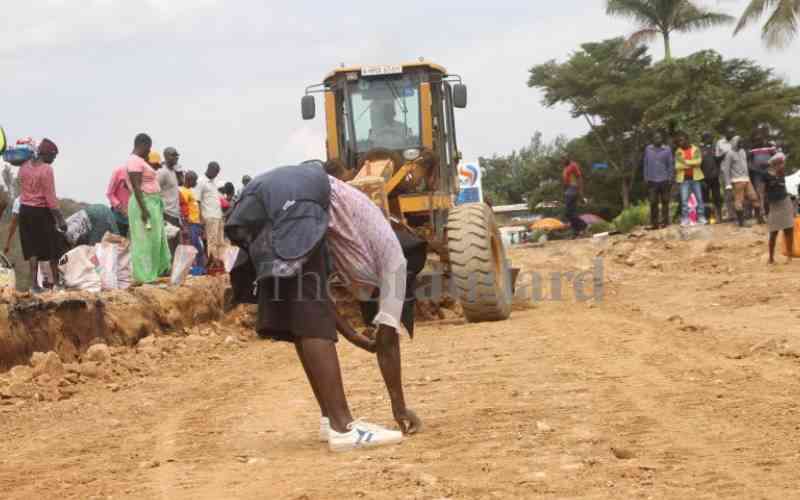
Keroka town has become a major revenue stream for both counties.
Subscribe to our newsletter and stay updated on the latest developments and special offers!